

Eye in the sky
Advances in mapping techniques have already helped insurers pinpoint flood risks. Now a new satellite technology promises millimetric precision in subsidence assessment. Sam Barrett investigates its potential value
Advances in mapping technology have made it possible for the insurance industry to pinpoint risk more and more accurately, with underwriters able to gauge the risk of certain events for individual
Only users who have a paid subscription or are part of a corporate subscription are able to print or copy content.
To access these options, along with all other subscription benefits, please contact info@postonline.co.uk or view our subscription options here: https://subscriptions.postonline.co.uk/subscribe
You are currently unable to print this content. Please contact info@postonline.co.uk to find out more.
You are currently unable to copy this content. Please contact info@postonline.co.uk to find out more.
Copyright Infopro Digital Limited. All rights reserved.
As outlined in our terms and conditions, https://www.infopro-digital.com/terms-and-conditions/subscriptions/ (point 2.4), printing is limited to a single copy.
If you would like to purchase additional rights please email info@postonline.co.uk
Copyright Infopro Digital Limited. All rights reserved.
You may share this content using our article tools. As outlined in our terms and conditions, https://www.infopro-digital.com/terms-and-conditions/subscriptions/ (clause 2.4), an Authorised User may only make one copy of the materials for their own personal use. You must also comply with the restrictions in clause 2.5.
If you would like to purchase additional rights please email info@postonline.co.uk
More on Personal
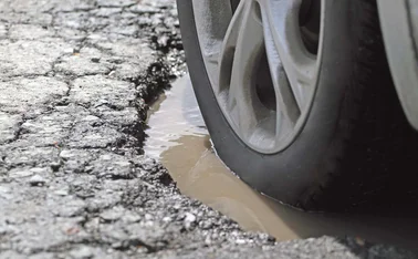
Summer heatwave could cause pothole nightmare for insurers
Insurers could see a higher influx of vehicle damage claims and more complex liability investigations after this summer’s heatwave played havoc with the UK’s roads.
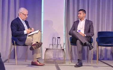
Allianz’s Lalwani on need for collaboration around AI governance
The insurance industry must work together to implement customer-centric artificial intelligence governance, according to Allianz UK’s chief data officer Akhil Lalwani.
Defaqto reveals new rating requirements
Defaqto has unveiled new rating requirements across personal lines in order for companies to retain three stars, under bold plans for 2027.

Are insurers ready for autonomous vehicle crashes?
William Balfry, member of the motor sector focus team at the Forum of Insurance Lawyers and senior associate at DWF, examines the increasing rollout of automated passenger services and insurers will soon have to handle claims resulting from collisions.
Insurance Compliance’s Allison questions insurance regulation
David Allison, head of intermediary consultancy south at Insurance Compliance, said improving customer understanding is an unsolvable problem, and questioned whether general insurance should ever have been regulated by the Financial Conduct Authority.

Homeowners delaying claims and repairs could increase costs
The AA has warned about how homeowners are putting off insurance claims, which could lead to more damage and higher costs later on down the line.

KPMG’s Evans reveals US investors set to snap up UK insurers
US investors are lining up to buy mid and top-tier UK MGAs and brokers in the year ahead, according to Huw Evans, partner and head of insurance at KPMG UK.

Top 30 European insurers of 2026 revealed
Europe’s Top 30 non-life insurers achieved another year of solid top line growth in 2025, although exchange rate changes affected revenue negatively when converted to euros.